Tahoe Meadows
Tahoe Meadows is located just below Mt. Rose summit off of the Mt Rose Highway (Hwy 431). There are several access points, either from parking along the highway or from the Tahoe Rim Trail Parking lot at the east end of the Meadow. There are many flat trails through the meadow and it makes a great place to introduce kids to winter recreation. Fore more information click HERE.
Sagehen Creek Trail
This scenic trail is located north of Truckee along Hwy 89 and Stampede Reservoir. The trail follows Sagehen Creek for2.5 miles with beautiful aspens, willows, and pine forest. Trail are spectacular as are the wildflowers in the spring and early summer. The trail ends at Stampede Reservoir in a beautiful open meadow. The loop is an easy 5.3 mile trail, accessible for all ages.
Take Hwy 89 North from Truckee and pull off at Sagehen Creek bridge. There is a small dirt parking lot on the right of Hwy 89 and the trail starts next to the bridge and follows the creek to the reservoir. For more info click HERE.
Fourth of July Shoots-Barker Pass and Ellis Peak
There are two great locations off of Barker Pass on the West shore of Lake Tahoe. The Ellis Peak trail offers great views of the Lake, Twin Peaks, and Desolation Wilderness as well as wildflowers even into late summer. It is not a busy trail and there is a lot of room at the peak to sit and enjoy the expansive view of Lake Tahoe. It is a 6.4 mile out and back trail.
To access the trail take Blackwood Canyon exit off Hwy 89 and follow the road up to Barker Pass. Just as the road turns to dirt there will be a parking lot on the left hand side for the Ellis Peak Trail head. The trail is a steep switchback for the mile and then opens up to an expansive ridgeline and a gradual climb with stunning views all the way to the peak.
On the way up Barker Pass there is a small trail that leads to the base of the Fourth Of July Shoots (so named because they are north facing and often are skiable on the 4th of July). the trail fallows a small creek and all along the trail are beautiful wildflowers. This trail is a short 2 mile out and back.
For detailed trail information and maps click HERE
Tamarack Peak
Mt. Rose is the third highest peak surrounding Lake Tahoe and offers amazing views of both the Tahoe Basin and the Carson Valley. It is a well-traveled, strenuous trail that is well worth the time and effort. The trail is an 11 mile out and back with 2,500 ft of elevation gain, with a waterfall, wildflowers, and expansive views.
From SR 431-Mt Rose Hwy park at the Mt Rose Summit parking lot which provides access to several trails including Galena Falls, Tamarack Peak, Relay Peak and the Tahoe Rim Trail. Follow the trail for Galena Falls and then once past Galena Falls the Mt Rose Summit trail branches off to the north east from the Rim Trail.
For a detailed description of the trail and maps click HERE.
Shirley Canyon
There are several beautiful falls along Squaw Creek that slide along the huge granite boulders at the base of tram face and up Shirley Canyon. These falls are all accessible from Shirly Lake Trail which starts in the back-parking lot of Squaw Valley behind the Olympic Village Inn Resort. Along the trail are great wildflowers but the best spot for wild flowers is past Shirley lake as you hike up Solitude Chairlift and along the ridge to High Camp where you can catch a free Tram ride down the mountain. For more information on the trail and the tram ride down click HERE.
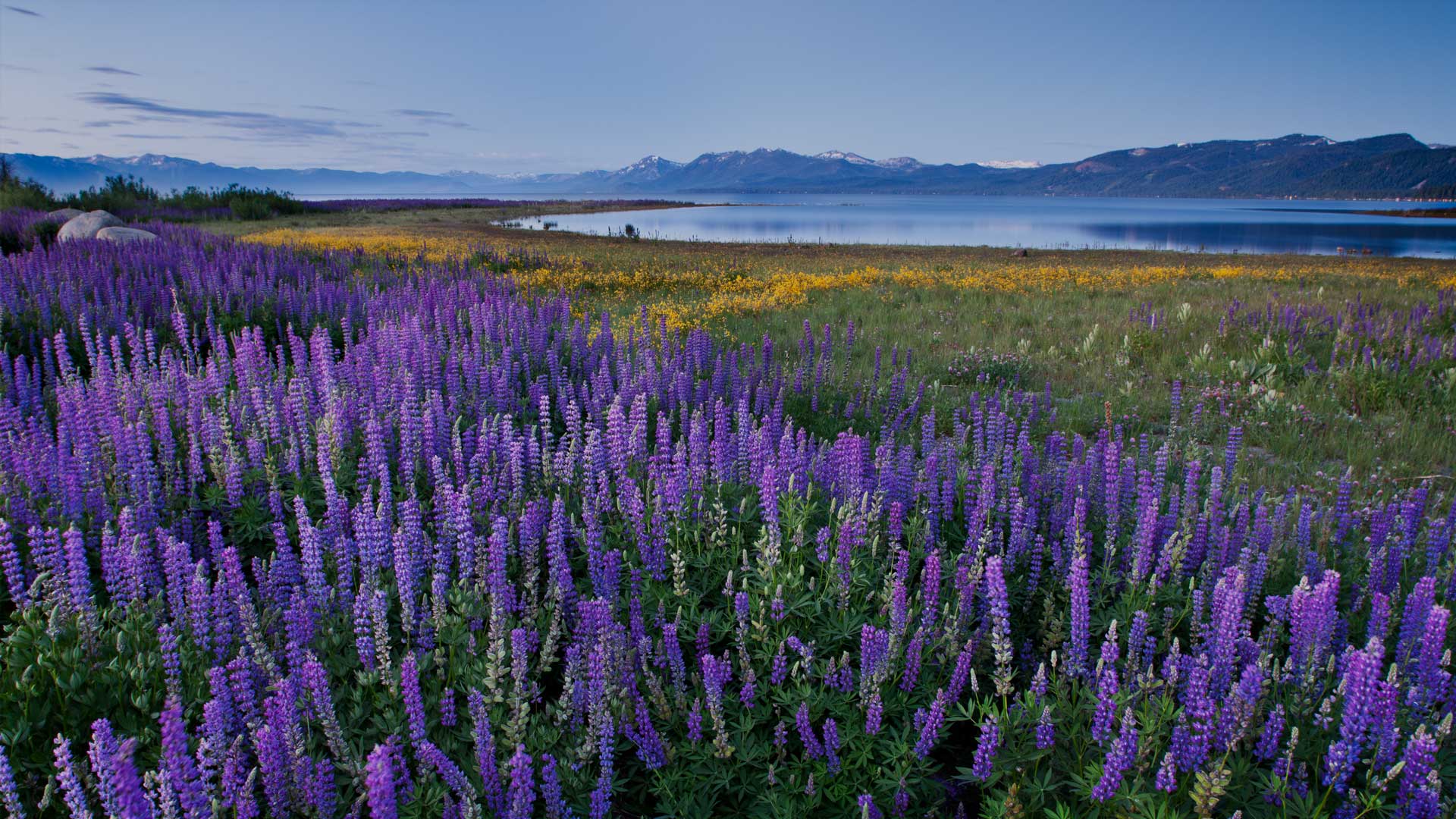
And in years with low water levels on Lake Tahoe the Coast Gard Station in Lake Forest and Commons Beach have spectacular Lupin!


Leave a Reply