Tahoe may be known for its world class skiing and its amazing crystal clear waters, but did you know that Tahoe also offers some of California’s finest mountain bike trails? Here are five of my favorites!
Flume Trail
Distance-varies
Difficulty: advanced
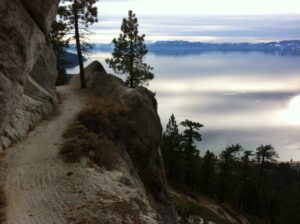
Probably one of the most spectacular mountain-bike trails in North America, the Flume takes riders high above Lake Tahoe’s East Shore. It is not for the faint hearted or the novice biker because there are some challenging climbs, and narrow steep sections, but the Lake views are incredible! Keep in mind the flume trail is heavily trafficked by hikers and horse back riders. Mountain Bikes are only allowed on the Flume trail on even days only! For more information click HERE
Access: Most mountain bikers choose a point-to-point ride on the Flume. Shuttles and bike rentals are available through Tunnel Creek Station off of Why 28 in Incline Village. The Flume Trail connects to the Tahoe Rim Trail to the north at Mount Rose Summit and the North Canyon Creek Trail to the south, which eventually reaches Spooner Summit. Any location makes a good starting point for the trail. Tunnel creek involves a steep climb while Mount Rose summit is longer but you have already started at a higher elevation so the climbing is significantly less. Ending by way of Tunnel Creek is usually the preferred option because you get a long, all be it gravely, downhill!
Antone Meadows Loop
Distance- 8.5 miles
Difficulty: Moderate
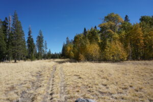
The Antone Meadows Loop a beautiful, well maintained single-track that loos through meadows, forest and over Burton Creek. The trail climbs a few hundred feet to its highest point, just under 7,000 feet elevation. The trail is well marked and relatively easy to ride. For more information click HERE
Access: The trail starts at the Tahoe Cross Country Ski Area located on Country Club Drive in the Highlands neighborhood (Tahoe City).
Page Meadows Loop
Distance– 8 miles
Difficulty: Easy
Located on Tahoe’s West shore. the Meadow offers several access points and trail options for any skill level. The Meadows can either be accessed via the Rim Trail and Word Canyon on the south of the meadow, through the Tahoe Park Heights neighborhood in Sunnyside, or from the north in the Granlibakken neighborhood just outside Tahoe City.
Access: Silvertip Drive- off highway 89 turn onto Pine Ave. then turn right on Tahoe Park Heights, then right on Big Pine Ave. and then left on Silvertip Ave. Parking is available at the end of Silvertip. Follow the fire road to the meadow. For more info click HERE
Ward Canyon and Tahoe Rim Trail- turn off of Hwy 89 on Pineland Dr. and follow it to Ward Creek Blvd. Follow Ward Creek Blvd about 2 miles until you see signs on the right and left for Tahoe Rim Trail. Parking is on the left side of the road and the trail to Paige Meadows is on the right (north side). For more info click HERE
Granlibakken Road. Take your third left onto Rawhide Drive. The road will eventually turn into a dirt fire road. Continue riding to the meadows. The trail will eventually link with the Tahoe Rim Trail which can be taken back to Tahoe City. For more info click HERE
Emigrant Trail
Distance- 15 miles
Difficulty: easy
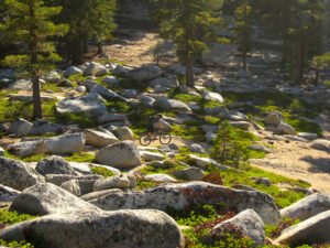
One of Truckee’s most popular trails, this trail is located near Donner Lake with little elevation gain and a rolling single-track. It’s a good trail ride for those who want to enjoy wide-open views and some solid pedaling. For more information click HERE
Access: From Truckee, take Highway 89 north. Turn left on Alder Creek Road. Park where Alder Creek Road and Carpenter Valley Road meet. For a shorter ride, park at the Donner Party Picnic Area off Highway 89 or even farther north where Highway 89 crosses Prosser Creek.

Sawtooth Ridge Trail
Distance– 10 miles
Difficulty: intermediate
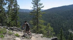
This is a popular single-track with the locals in Truckee. It offers some elevation gain and some nice overlooks of the Truckee River and Squaw Valley. For more information click HERE
Access: From Truckee, take Old Brockway Road south. Turn right on Palisades Drive and continue onto Ponderosa Drive. Turn right on Silver Fir Drive then left on Thelin Drive. Stay to the right onto 06 Fire Road. Parking will be on your right and signage will mark the start of the trail.


Leave a Reply