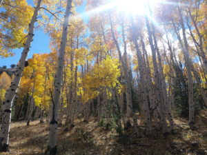
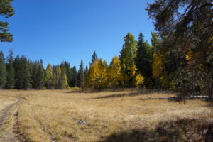
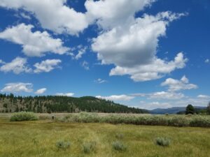
Tahoe is well known for its stunning peaks and beautiful lake but did you know that there is also an amazing fall color show each year in this part of the Sierra Nevadas? I have complied a list of the best fall hikes in the North Lake Tahoe and Truckee area that are easily accessible to the whole family.
Blackwood Canyon
Blackwood Canyon is located on Tahoe’s West shore just south of Sunnyside at Hurricane Bay. The drive up Blackwood Canyon to Barker Pass is full of beautiful fall colors. The best hiking trail in the area for viewing the color change is located at the bridge that crosses Blackwood Creek, about 2 miles up Barker Pass Rd. from Highway 89. This trail is an out and back (3.5 miles round trip) that follows the creek down to the Tahoe Pines neighborhood. It is relatively flat and accessible.
Directions:
Take highway 89 south past Sunnyside. Turn right at Barker Pass Rd and follow the road about 2 miles till it forks. Turn left and cross Blackwood creek. Park on the other side of the bridge. Parking is limited along the side of the road. The trail is located on the southeast side of the bridge. Follow the trail east down Blackwood Creek till you reach the Tahoe Pines neighborhood (about 1.75 mi) and then turn back.
Paige Meadows
Located on Tahoe’s West shore, Paige Meadows is a fantastic place to take in the fall colors. The Meadow offers several access points and trail options for a short easy stroll to a longer full day hike. The Meadows can either be accessed via the Tahoe Rim Trail and Word Canyon on the south of the meadow or through the Tahoe Park Heights neighborhood in Sunnyside. From Ward Creek the trail is about a 5.1 mile loop that involves some steep elevation gain. From Silvertip the trail is a level loop through the Meadow on both dirt and boardwalk trails.
Directions:
Silvertip Drive- off highway 89 turn onto Pine Ave. then turn right on Tahoe Park Heights, then right on Big Pine Ave. and then left on Silvertip Ave. Parking is available at the end of Silvertip. Follow the fire road to the meadow. For more information and trail maps click HERE
Ward Canyon and Tahoe Rim Trail- turn off of Highway 89 on Pineland Dr. and follow it to Ward Creek Blvd. Follow Ward Creek Blvd. about 2 miles until you see signs on the right and left for Tahoe Rim Trail. Parking is on the left side of the road and the trail to Paige Meadows is on the right (north side). For more info an trail maps click HERE
Sagehen Creek Trail
This scenic trail is located north of Truckee along Highway 89 and Stampede Reservoir. The trail follows Sagehen Creek for 2.5 miles with beautiful aspens, willows, and pine forest. The fall colors along this trail are spectacular as are the wildflowers in the spring and early summer. The trail ends at Stampede Reservoir in a beautiful open meadow. The loop is an easy 5.3 mile trail, accessible for all ages.
Directions:
Take Highway 89 North from Truckee and pull off at Sagehen Creek bridge. There is a small dirt parking lot on the right of the highway and the trail starts next to the bridge and follows the creek to the reservoir. For more info an trail maps click HERE
Waddle Ranch Reserve
Located in Martis Valley off of Highway267 and Martis Dam Rd. This preserve offers some great trail options with beautiful fall colors along Martis Creek and Lake Ella. It is relatively flat and accessible for all ages with many loop and out and back trail options. There are designated picnic areas and the trails are well signed. To complete the whole loop and off shoot trails is about 6 miles round trip.
Directions:
From State Route 267 turn north onto Martis Dam Road. Proceed to the trailhead located on the left at the junction of Glider Port Road and Martis Dam From there walk across the dam and follow the signs to Waddle Ranch Preserve. For more info an trail maps click HERE


Leave a Reply